Managing soil, groundwater, slope, frost, erosion, and ground-movement risks across Alberta pipeline projects.
Pipeline geotechnical engineering in Alberta must account for terrain that can change significantly over a single route. Prairie deposits, river valleys, muskeg, steep slopes, glacial sediments, bedrock, and northern permafrost can each create different design and construction challenges.
Because pipelines are continuous systems, ground movement at one location can affect joints, coatings, supports, and stress beyond the visible problem area. Geotechnical input should therefore begin during route selection and continue through construction and operation.
Build a Ground Model Early
A useful investigation begins with a clear understanding of the proposed alignment, pipe characteristics, installation method, and credible geohazards.
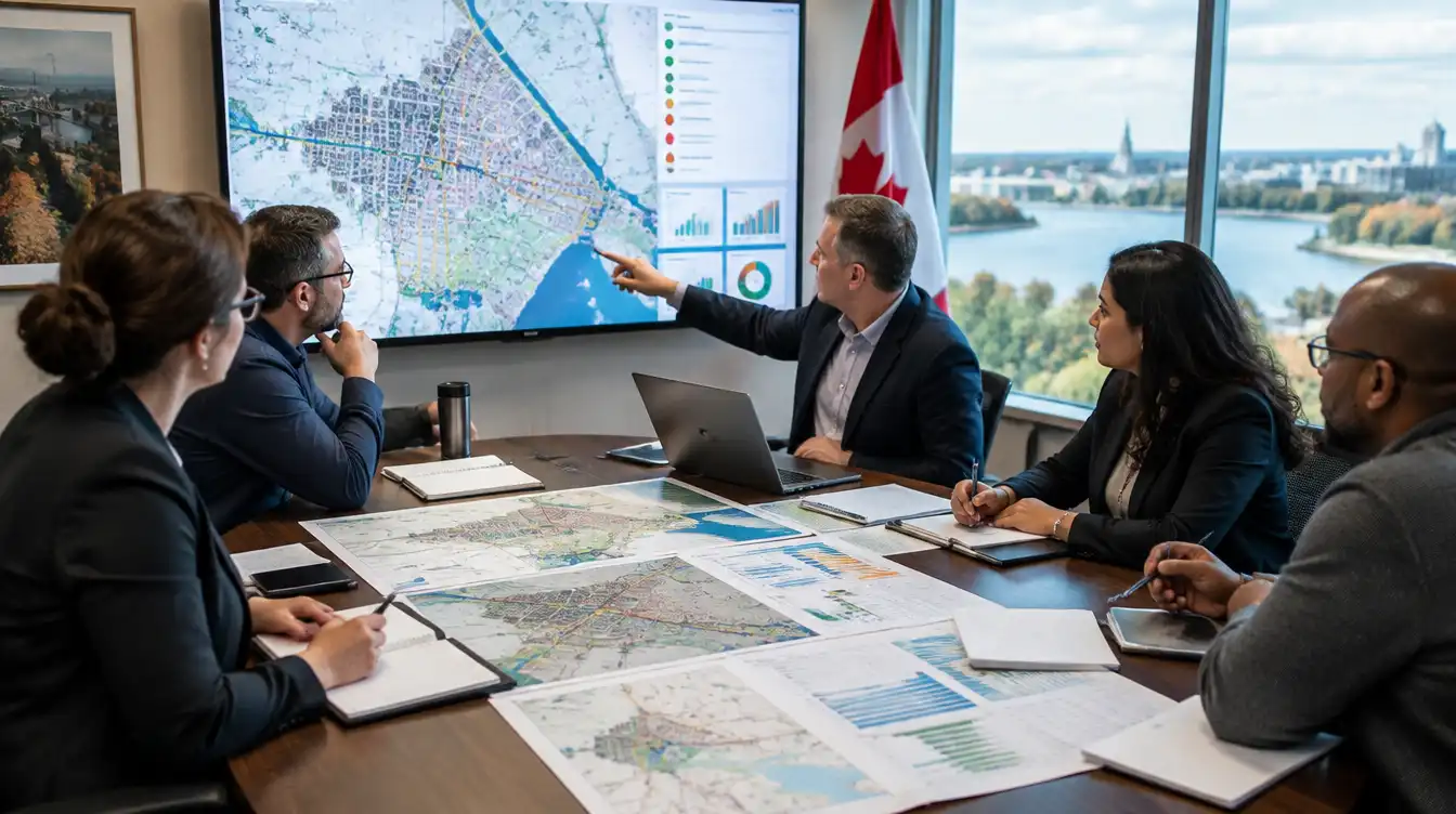
Desktop review may include geological and surficial mapping, topography, historical aerial imagery, LiDAR, groundwater information, previous boreholes, and records of flooding or slope movement. Field reconnaissance then helps confirm drainage, erosion, unstable slopes, soft ground, access constraints, and evidence of previous disturbance.
Boreholes, test pits, cone penetration testing, geophysics, laboratory testing, and groundwater monitoring can be targeted to the locations where uncertainty could change the design.
Variable Soils and Settlement
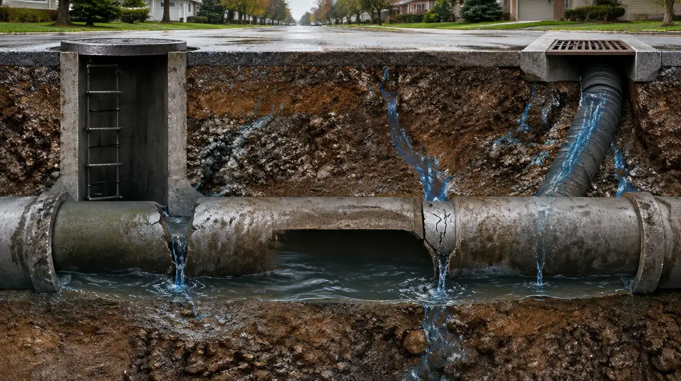
Glacial soils can vary over short distances, while fill, organics, and soft fine-grained deposits may provide inconsistent support. Differential settlement can change pipe grade, open joints, increase bending, or reduce cover.
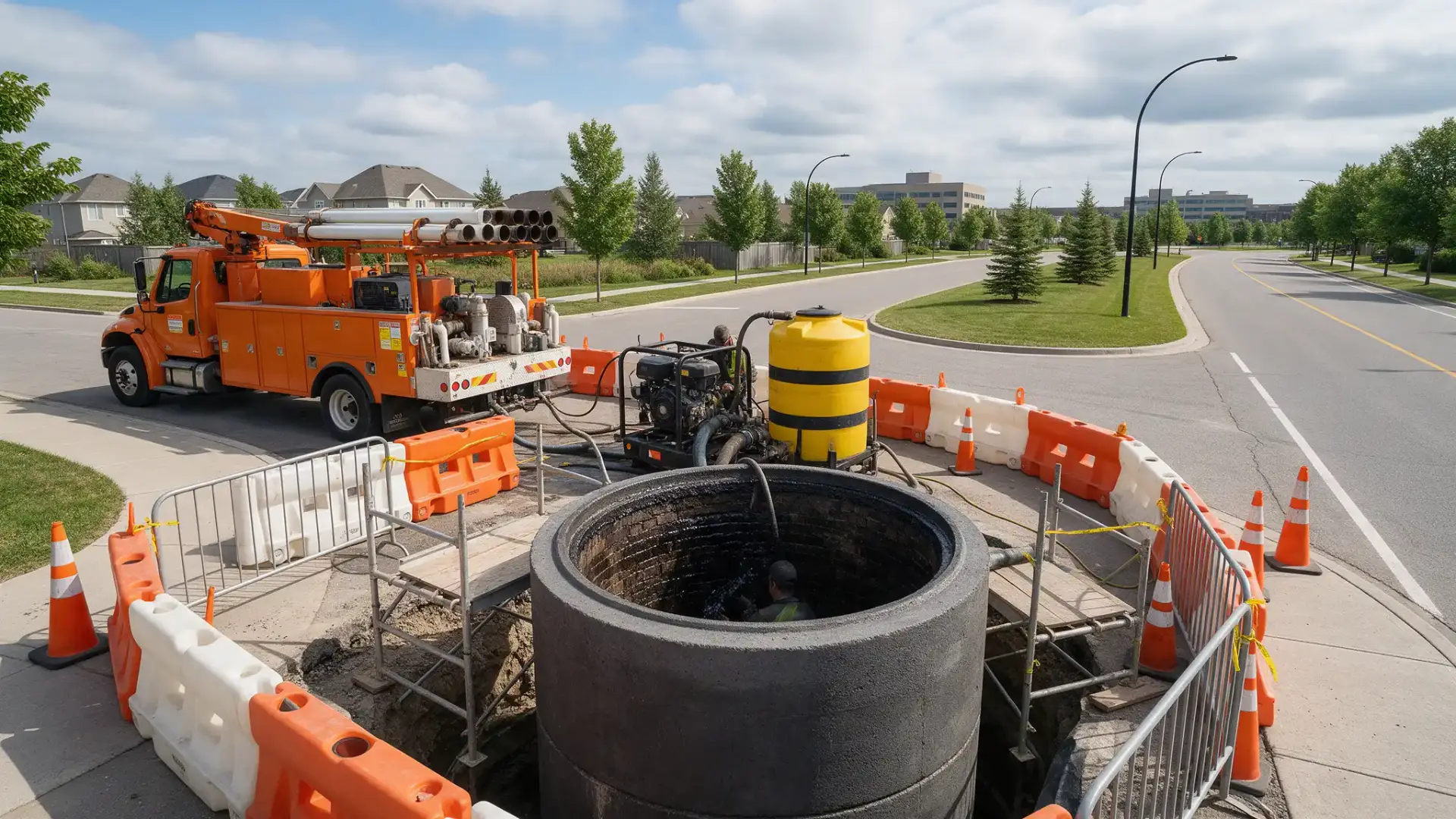
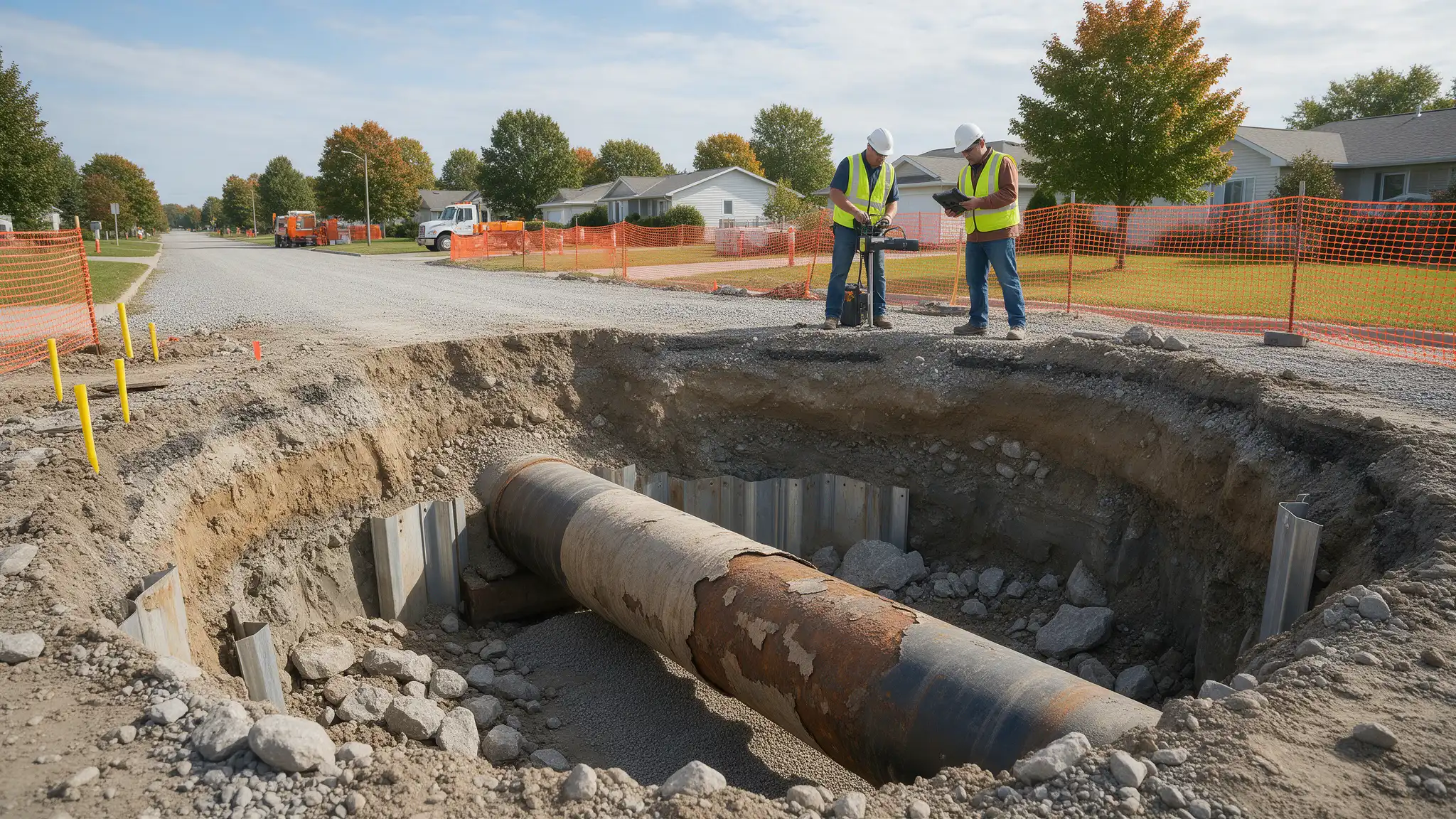
The design should address trench stability, bedding, embedment, backfill, compaction, dewatering, and the transition between different ground conditions. Where poor soils cannot provide suitable support, options may include ground improvement, removal and replacement, load distribution, flexible joints, or a different alignment or installation method.
Frost, Slopes, and Ground Movement
Seasonal freezing can produce frost heave, thaw weakening, and changes in groundwater. These effects are influenced by soil type, moisture, burial depth, surface conditions, and heat transfer from the pipeline.
In northern Alberta, discontinuous permafrost or ice-rich soils may create additional settlement and stability risks if the thermal regime changes. Design measures may include deeper burial, insulation, thermal analysis, controlled backfill, drainage, or route adjustments.
Construction timing also matters. Conditions observed in winter may not represent the groundwater and bearing conditions encountered during spring thaw.
River valleys and other steep terrain may contain old or active landslides that are not obvious from a single site visit. Groundwater, erosion, weak bedrock, glacial deposits, and changing drainage can reactivate movement.
Assessment may require slope-stability analysis, subsurface investigation, instrumentation, and evaluation of the strain that ground displacement could impose on the pipe. Mitigation may involve rerouting, drainage, grading, retaining systems, deeper installation, flexible design, or ongoing monitoring.
Pipeline and geotechnical analyses should be coordinated so that estimated ground movement is translated into credible pipe demand.
Water Crossings, Scour, and Buoyancy
At watercourses and floodplains, designers should evaluate bank erosion, channel migration, scour, buoyancy, uplift, and construction disturbance. Adequate cover at installation does not guarantee long-term protection if the channel changes.
Open-cut and trenchless crossings present different risks. Trenchless design should consider bore stability, drilling-fluid loss, inadvertent returns, entry and exit geometry, and the ability to install the product pipe without overstress.
Construction and Monitoring
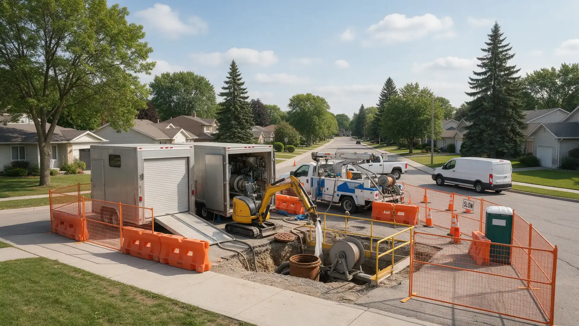
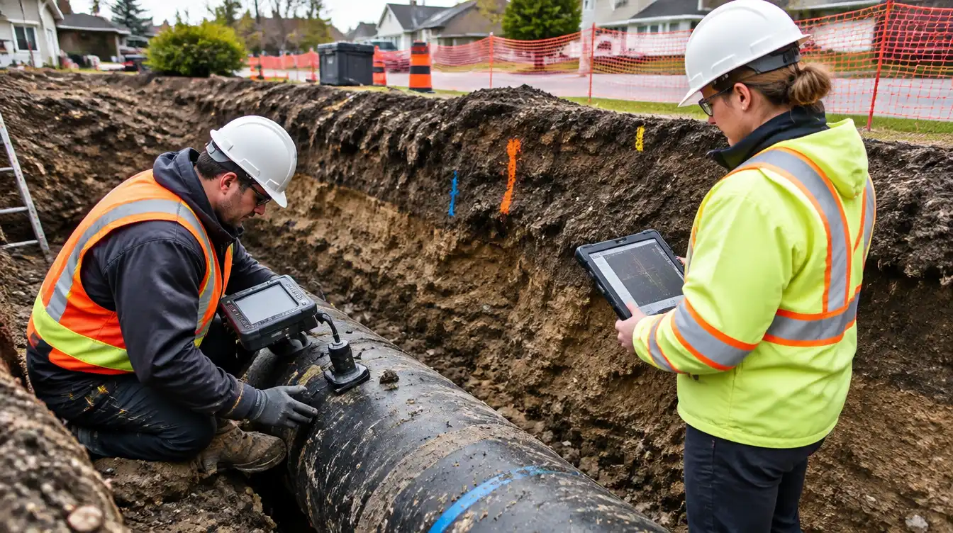
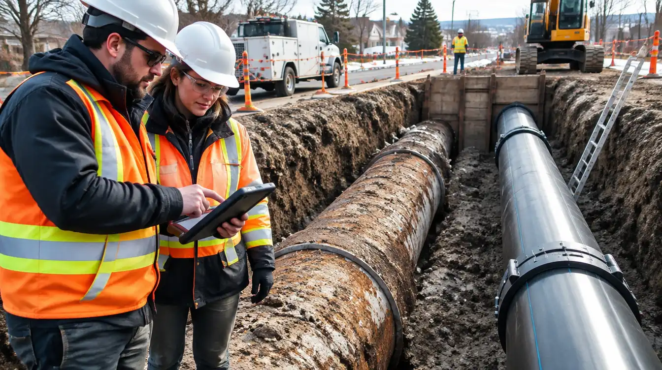
Geotechnical recommendations must be practical in the field. Inspection should confirm actual soils, groundwater, bedding, backfill, and slope conditions, with a clear process for responding to unexpected conditions.
High-risk locations may also require survey monuments, piezometers, inclinometers, strain monitoring, erosion inspections, or remote sensing during operation.
An Integrated Approach
At Avodahtec, we coordinate pipeline and geotechnical engineering to support route selection, investigation planning, constructability, ground-movement assessment, crossing design, mitigation, and monitoring.
Conclusion
Pipeline geotechnical engineering in Alberta is not limited to specifying bedding or reviewing boreholes. It requires an understanding of how terrain, groundwater, climate, construction, and pipeline behaviour interact over time.
Early investigation and coordinated design help reduce construction surprises, protect pipeline integrity, and support reliable performance across Alberta’s varied terrain.